This
challenge is also what I’m talking about when I talk about the difference
between novices and veterans. In my opinion, and not
everyone may agree with it, a novice makes those excuses I talked about above,
because they feel like they’ve failed the challenge of climbing the mountain. A
veteran, on the other hand, understands this point: that the challenge is only
failed if you endanger yourself; or other people. Whether you make the summit
is immaterial. The challenge is how you respond to adversity – the mountain.
Sure, the summit is the most tangible example of whether one completed – and
rose to the smaller challenge; but the real example in my mind as a veteran
climber of whether one has risen to the mountaineering challenge is whether one
made it back down safely – irrespective of whether one has “bagged” the peak.
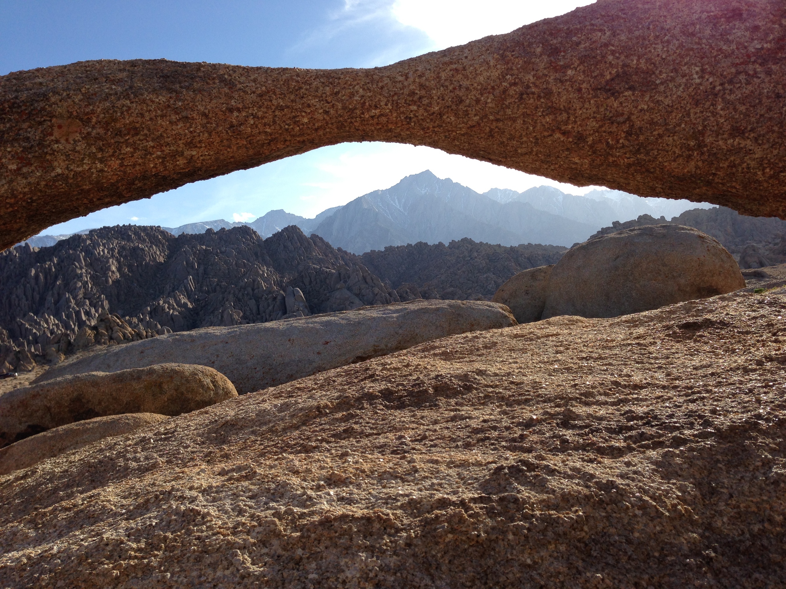
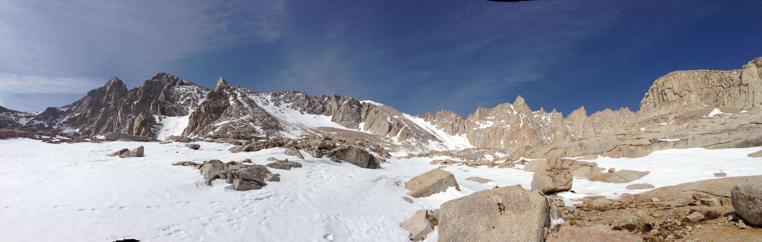
I
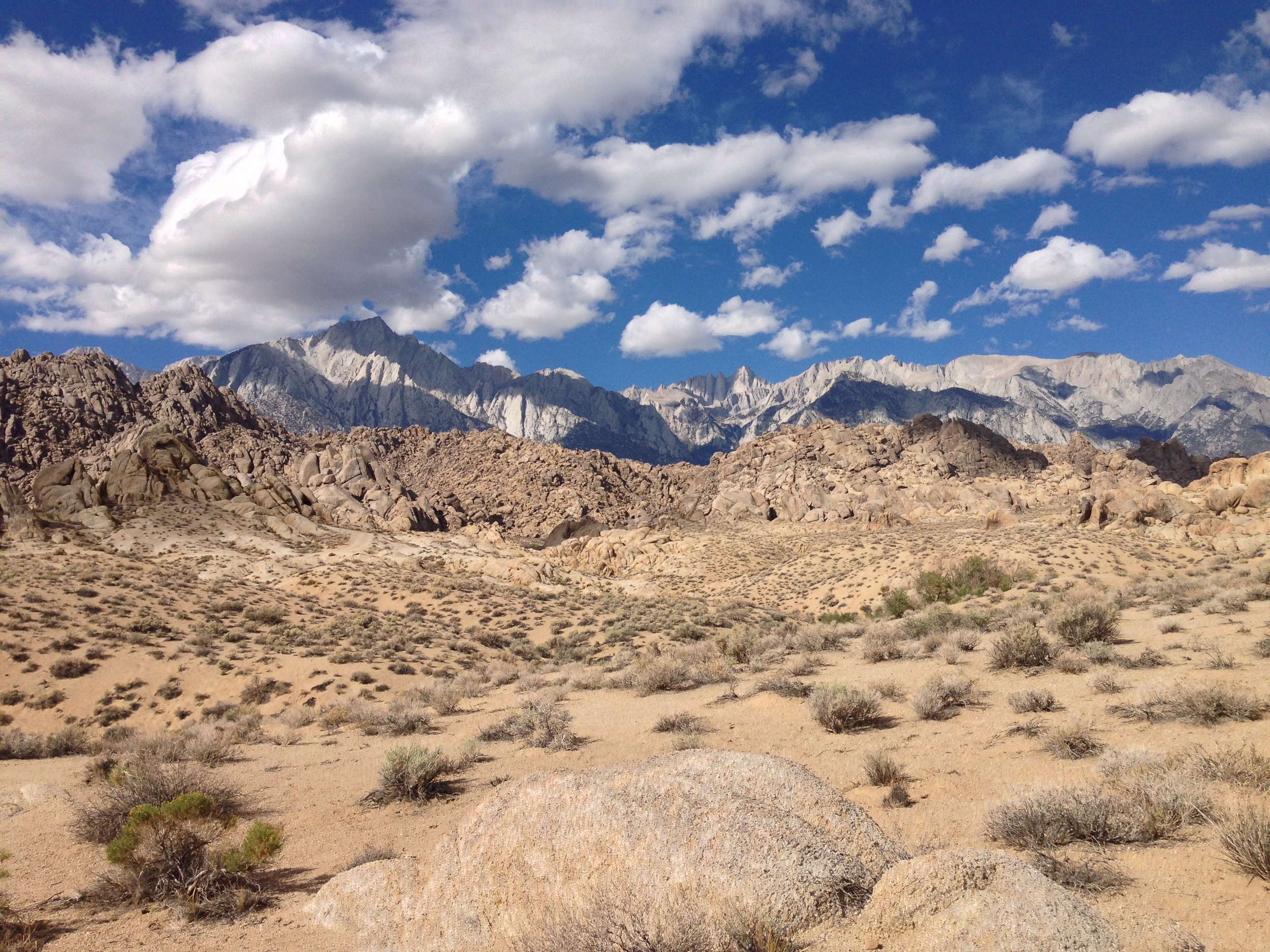
turned around on Whitney this year, because I knew I didn’t have enough
daylight left to summit and safely descend. Sure, I had the gear; and sure I
had the skills. I also knew that I was the only one on the mountain that day.
If something happened to me, and accidents do happen on Whitney, I would be on
my own, in a bad way. I turned around because the challenge was to get down
safely at that point, and come back another day. Sure, it was easy for me
because I’ve been on the summit eight times. But, I’ll be honest: as a veteran,
I would have turned around even with no summits under my belt, because the
mountain is always going to be there.
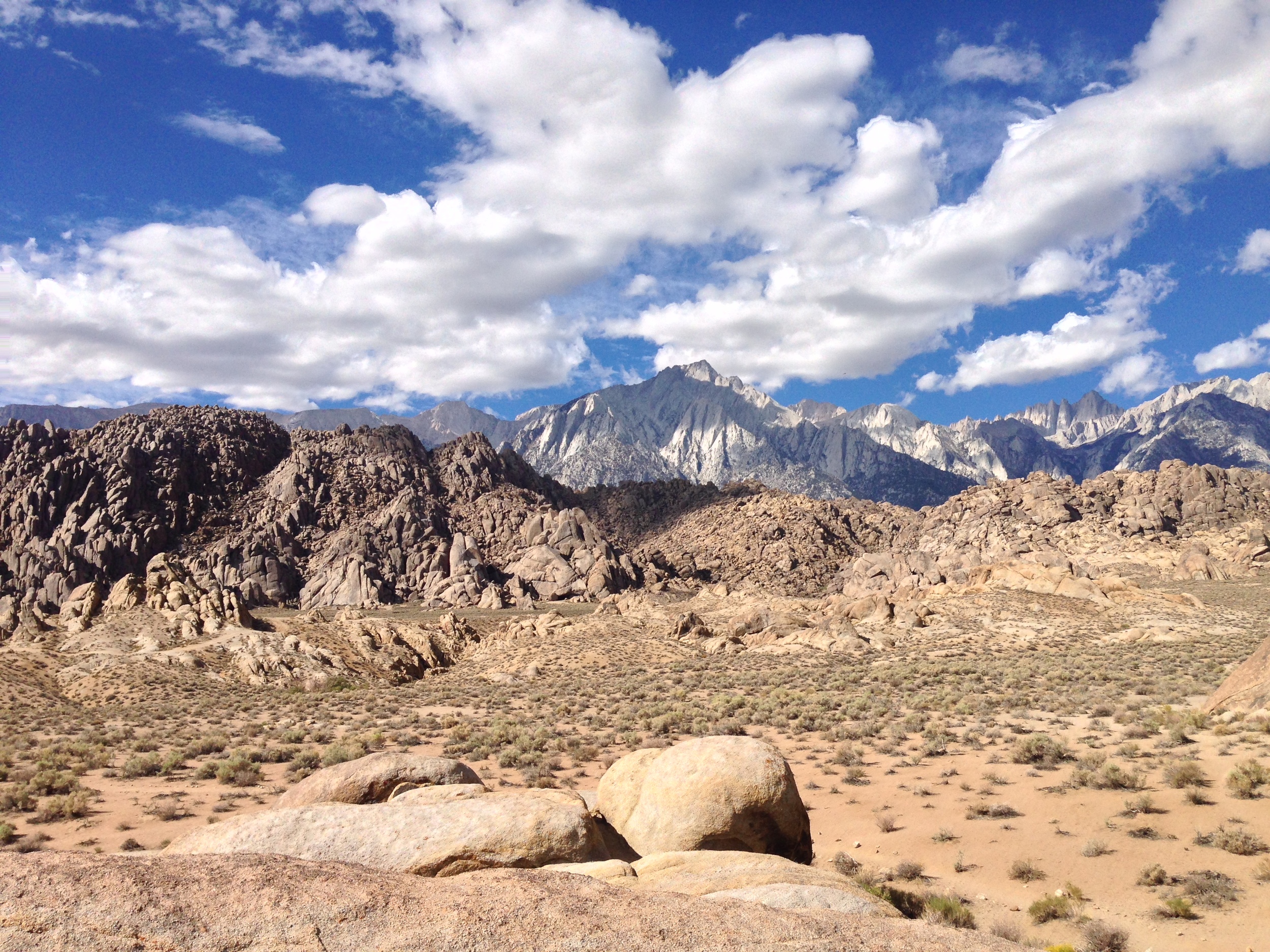
That’s
the awareness I’d like to leave novice climbers with: the mountain is always
going to be there – but you won’t. If you’re in a spot where it’s “go” – or “don’t
go”, give the “don’t go” serious consideration, because you can always come
back. Sometimes, when you don’t go, as well, you not only place yourself in a
better position in terms of surviving, you place yourself in a better position
for appreciating what’s out there, and that’s what I’d like to leave you with.
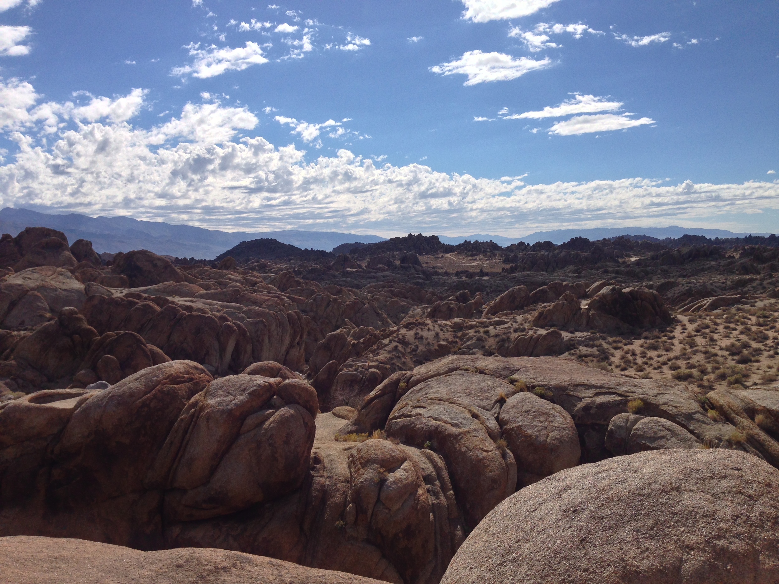
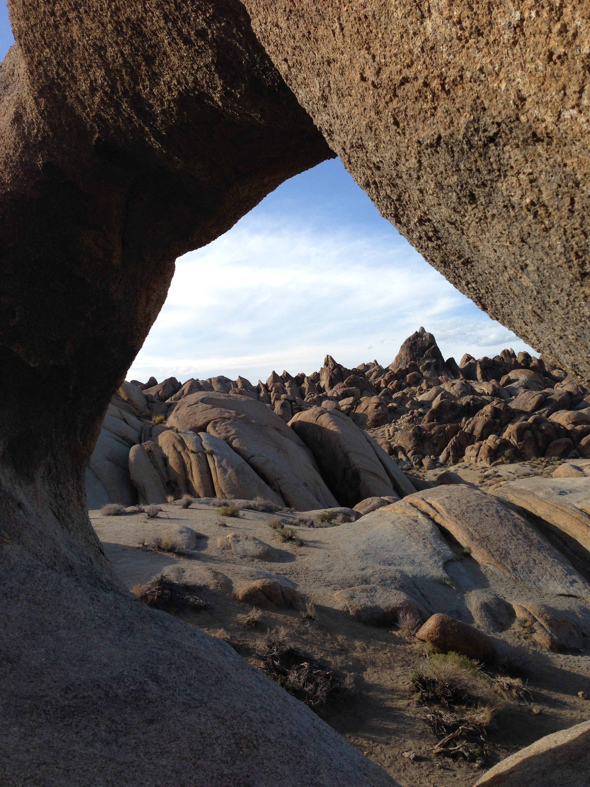
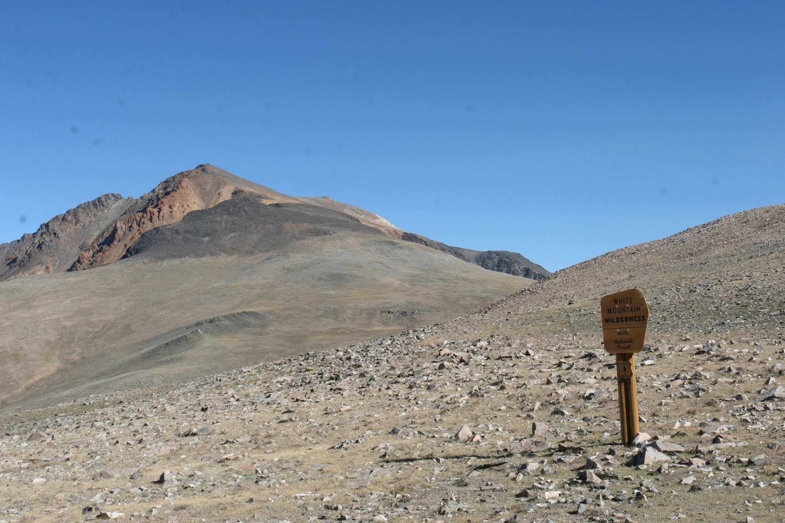
I don’t know how big the mountaineering community is world-wide, but I’d be
willing to guess that even with the increase in popularity the last ten years,
it’s still fairly small. We, as mountaineers are a minority of the populace. We
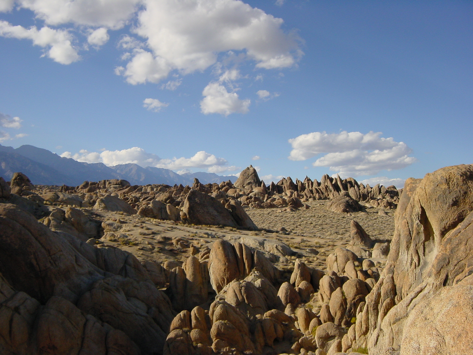
are a community that will hike, climb, and yes, mountaineer into some of the
remotest spots on the planet. These are spots that most people will likely
never hear about; and may likely never see. These are spots that most people
will likely never experience, even if they are popular spots like Mount
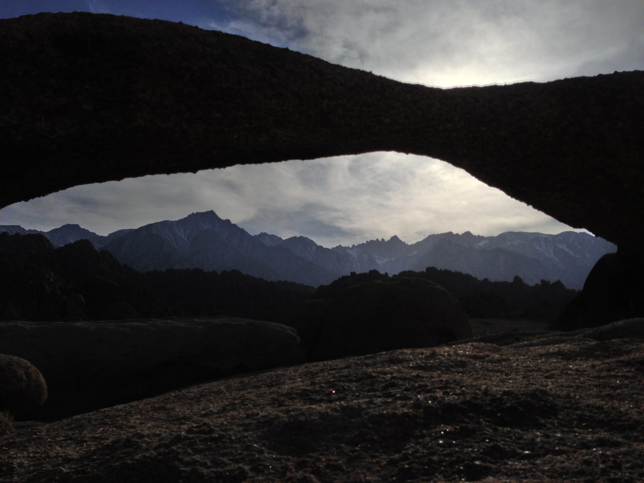
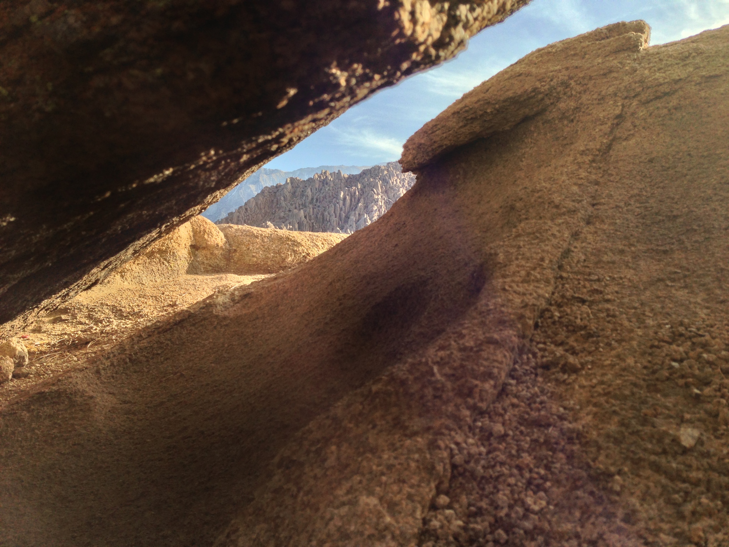
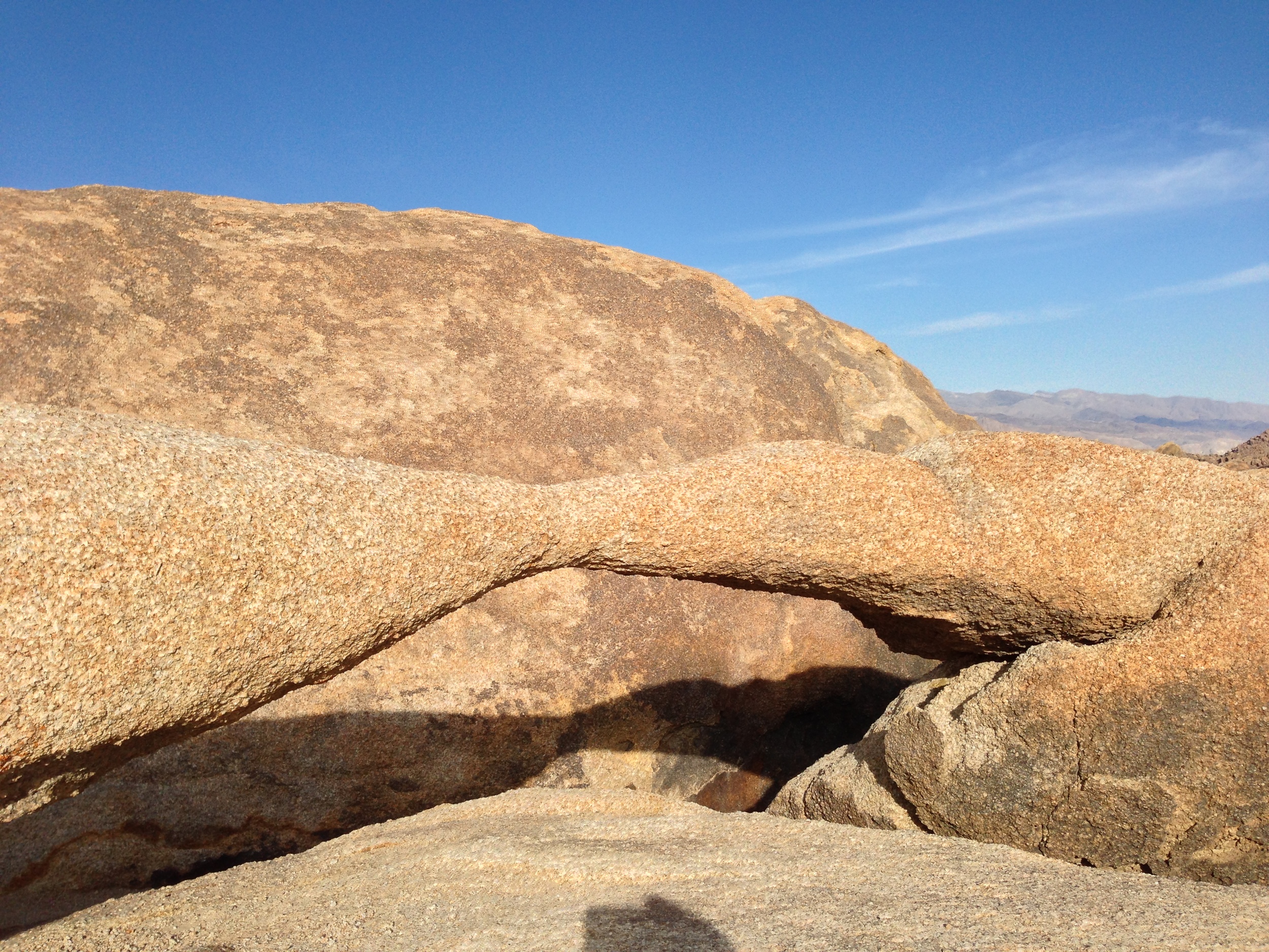
Whitney. Irrespective of whether a far summit is achieved, we as mountaineers
have a duty to appreciate what others cannot; and appreciate what beauty there is
in the world.
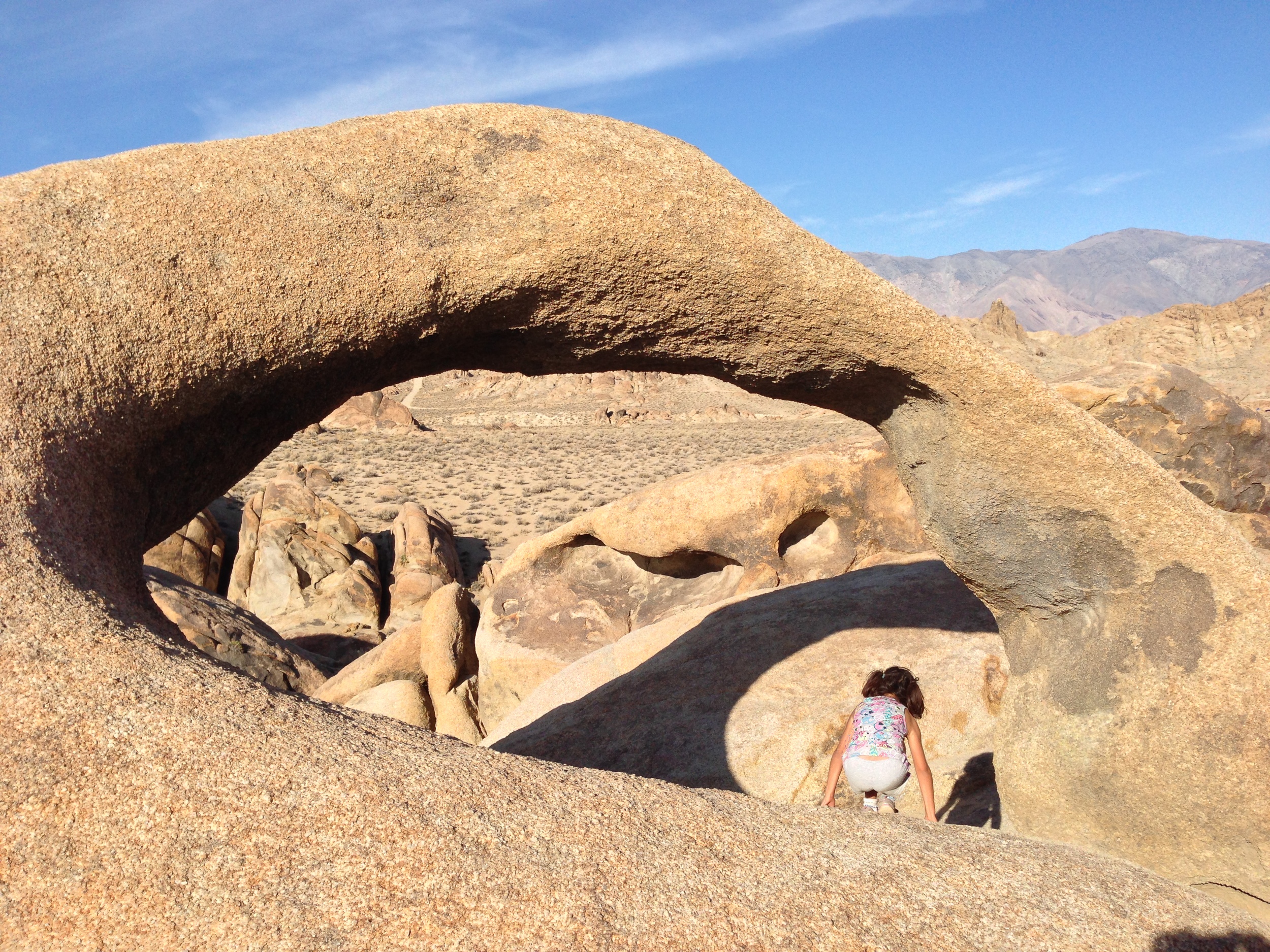
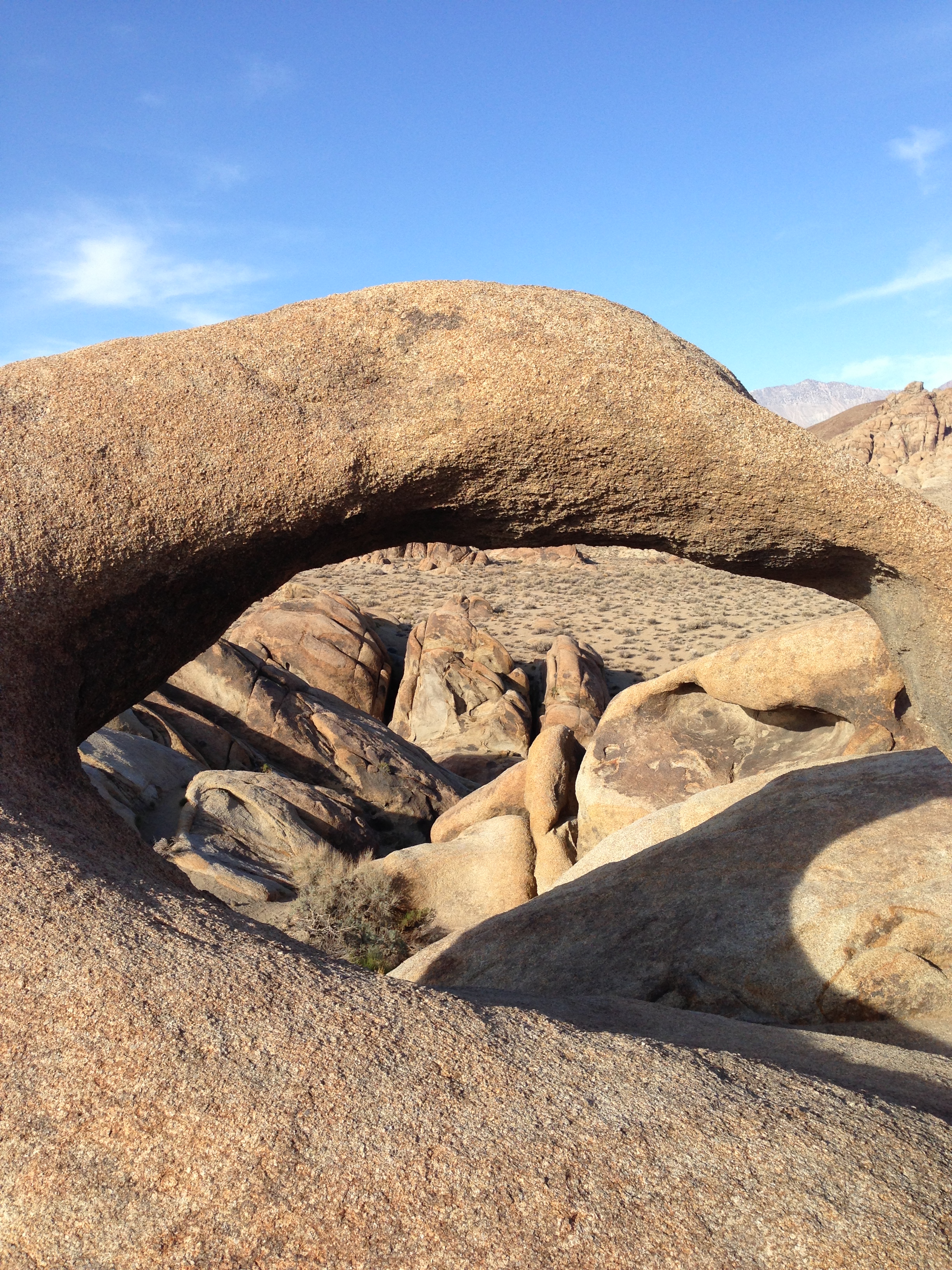
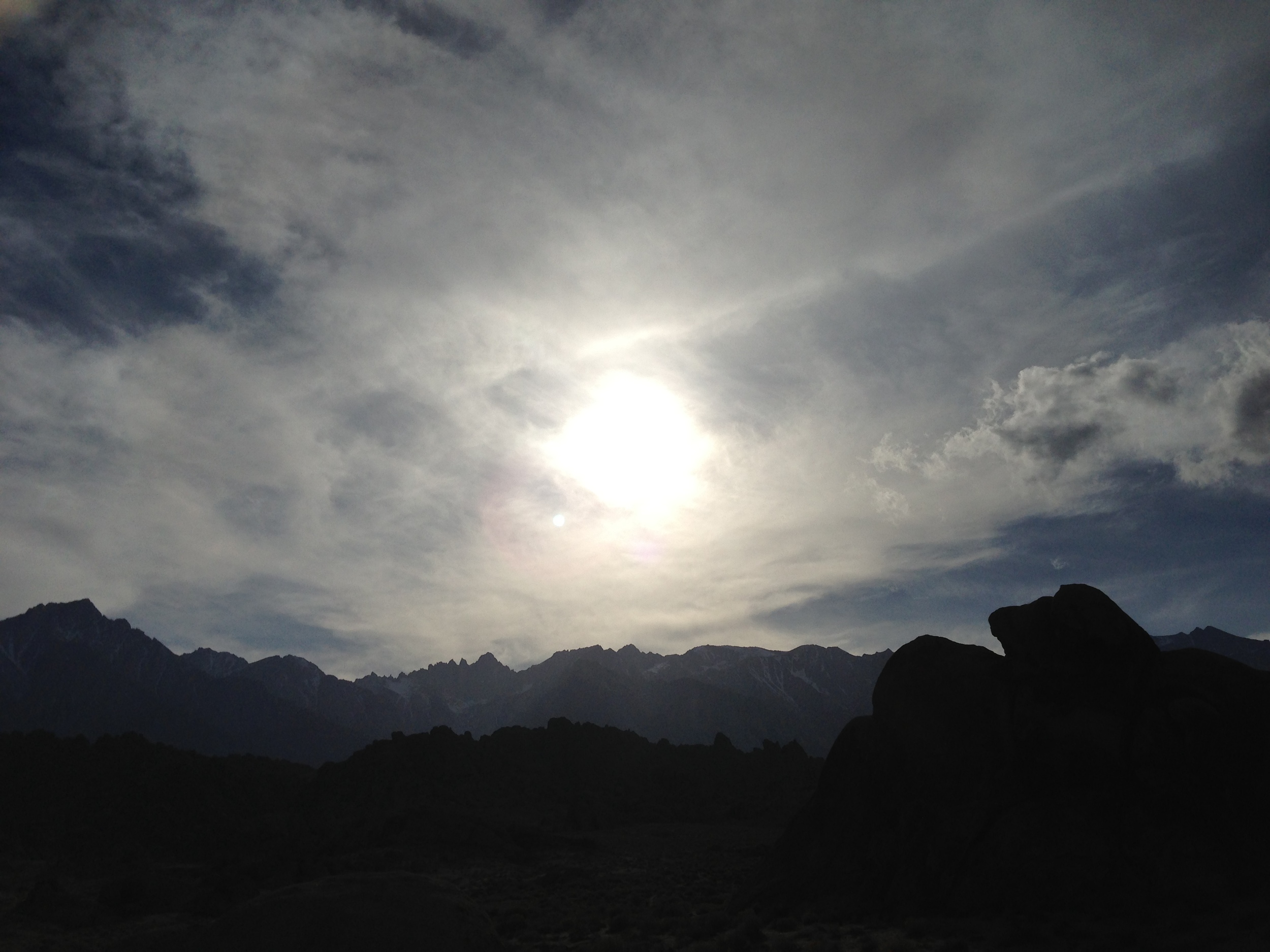
So,
if you are on Mount Whitney later this year, or on any other peak, and your
trekking poles seem heavy, or your ice axe keeps sticking, stop, look around,
appreciate the challenge, appreciate the environment, and appreciate the
moment. Maybe you make it up; maybe you don’t, but the important thing is that
you accept the challenge of returning, and the challenge of appreciating what
you, and only you are seeing at that moment.